|
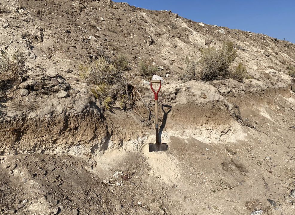
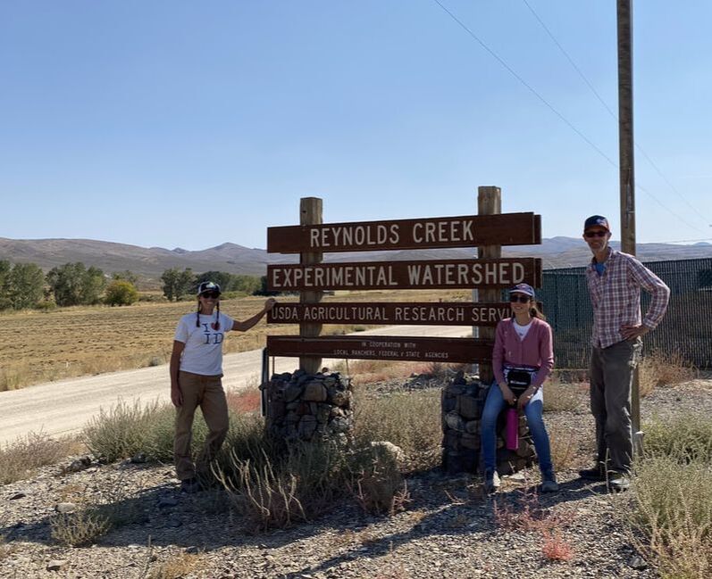
Reynolds Creek Experimental Watershed, overseen by the USDA Northwest Watershed Research Center, has been the focus of long term-research since the 1960s. This study site is 238 km2 in size, and spans a gradient of sage-dominated dryland landscapes in the Owyhee Mountains of southwestern Idaho.
The Reynolds Creek Critical Zone Observatory was established in 2014 to “address the grand challenges of improving prediction of soil carbon storage and flux from the pedon to landscape scale." |
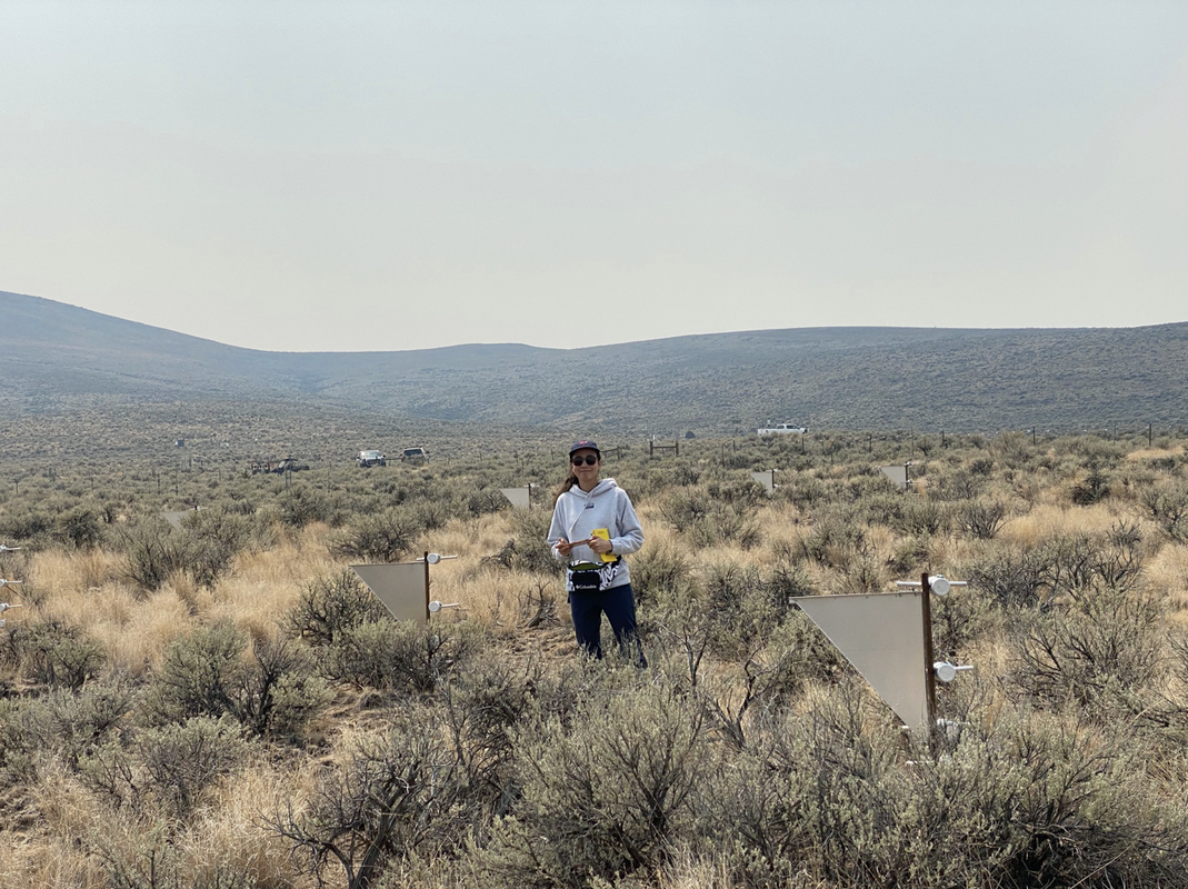
Six full-time scientists and technicians provides the infrastructure and expertise for fruitful field-based and instrument intensive studies. Eight heavily instrumented core sites measure soil moisture, soil and air temperature, precipitation and dust flux. Elevations range from ~1100 m to 2245 m, and precipitation closely follows the elevation gradient, with the driest location receiving ~240 mm annually and the higher elevations receiving over 1170 mm annually. State and federal government owns ~75% of the land in the watershed, with the remainder privately owned and utilized primarily for cattle grazing and agriculture.
Visit Boise State Earth Wind and Fire Lab Website Here
Reynolds Creek Research Site


